
We found an alternative tar or asphalt road to the busy tourist road (route 6) running from Addis to the Moyale Kenya border via Dila. We decided not to take this road as I had experienced it 5 years ago and it was slow and only offered cheap motels/hotels and is littered with people the whole route. Instead we drove from Addis Ababa that branches south west off the ring road and followed route 9 to Omorate via Butajiri, Tulu Bola, Hosaena, Sodo, Konso, Turmi and Omorate the Ethiopean border. We lost the tar for small portions of the way at Lake Abaya and the section from Turmi to Omorate. From Konso we drove towards Wolti and had the most amazing views of the plains. We then crossed a massive river which had flooded it banks onto the tar road and was flowing over the road. That was a bit scary but we just followed the truck to the other side and hope for the best!
We arrived in Wolti and there was a well marked left turn south 112km to Turmi and BUSKA lodge. This section was a wild dirt road running on the west border of the Stephanie Wildlife Reserve and was quite spectacular as we drove along and across many dry river beds which was a blessing! We bushed camped one night and camped at the lodge the next. There’s also a nice looking camp site on the left side of the road just after a village after approx. 50km
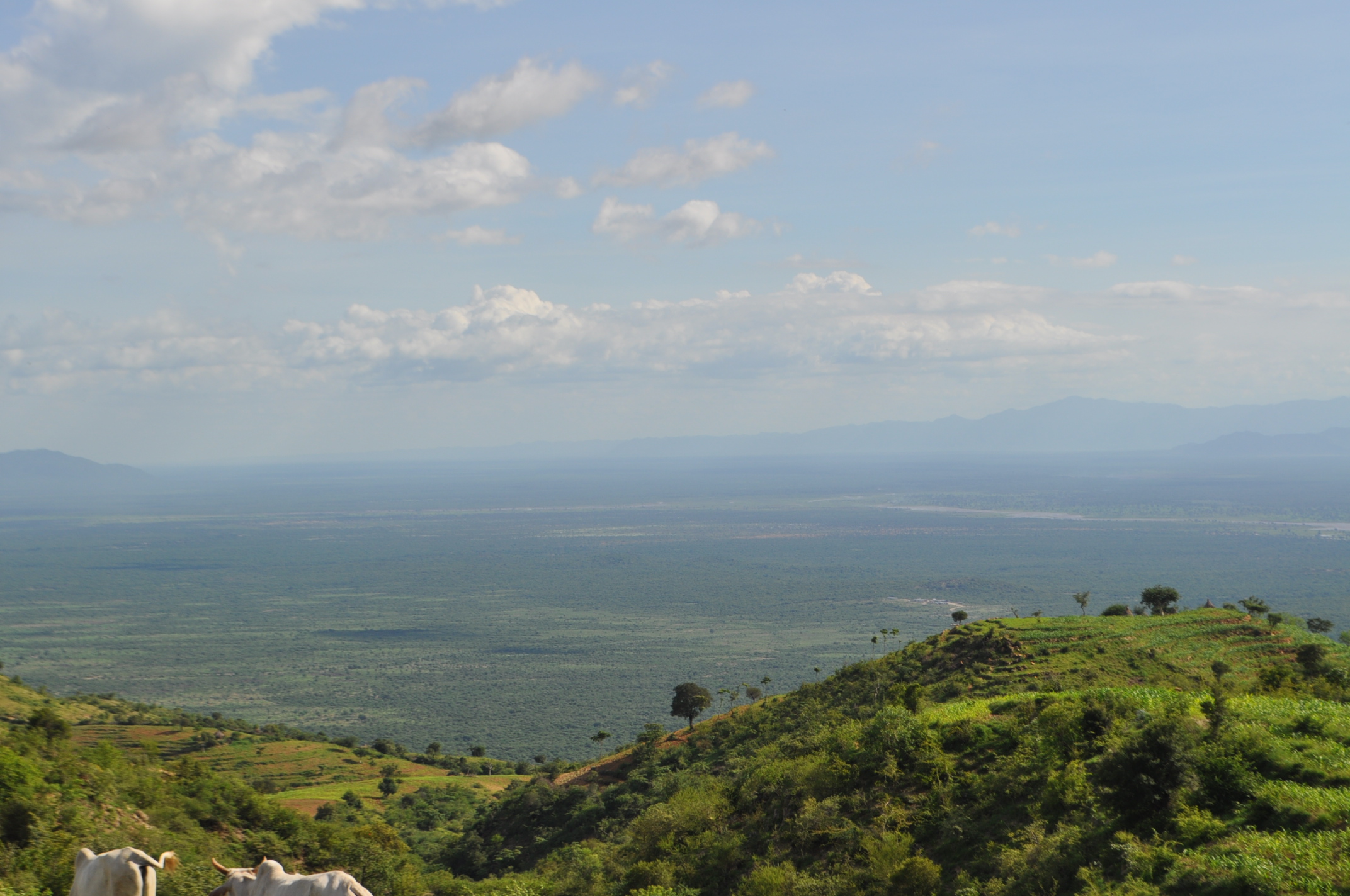
Signs of the Rift Valley

The Rift valley

Dry River crossing near Turmi

Nicky’s river crossing near Lake Turkana
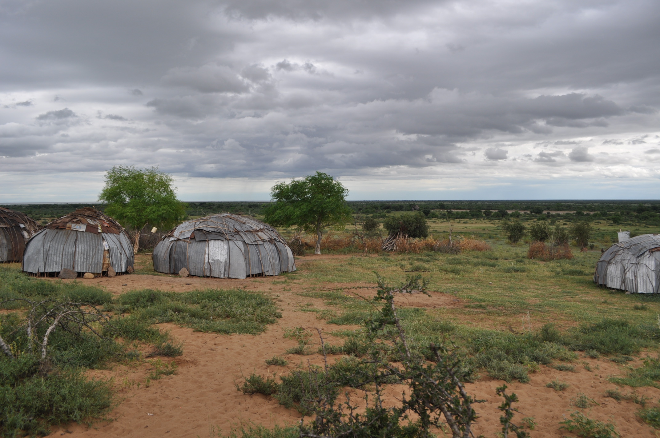
Ileret dome homes

Bush camping Turkana

Sib’s river crossing
Buska Lodge offers a good restaurant, bar and camping facilities and a scenic place to stop. It has two river crossings on either side of it which can stop you in your tracks for a few hours which run off the local areas towards Turkana. Turmi is a one house town and doesn’t have much to offer apart from potatoes, beer and water. There is no meat unless again you kill a chicken!!
There ia alternative route to Turmi via Jinka if the rivers are too high to cross, but it is an additional distance and we were lucky to have dry conditions!
Passport control and Carnets are done in Omorate, just ask around how to get there, with only so many buildings around, it is easy to find. There is no Kenya passport control and you can take care of all of this in Nairobi, see our Overland bread crumb for more details: trailhttp://www.exploreafrica2day.com/Trips/east-africa-overland-bread-crumb-trail-kenya.html
The turn off south to Lake Turkana ia approx. 18 kms back down the dirt road from where you came from Turmi and is indicated by a Health centre sign post which is easily missed if you are not looking for it. It’s an obscure dirt track going south and does not look like a well established dirt road, though you can see distinct wheel tracks.
Check out the AFRICA SHOP which have a detailed series of digital Mapstudio Map

Buska lodge entrance
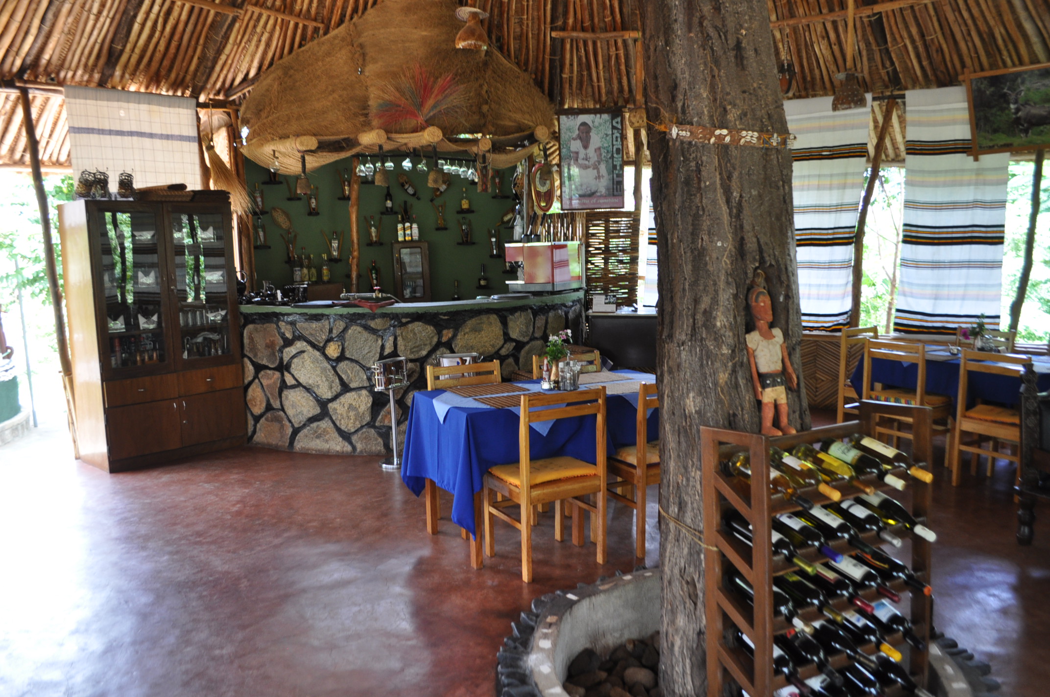
Buska lodge bar

Buska lodge

Our muddy route south, Nicky Sib and Pris
It is hell of a fun road made up of sand, steep river crossings, mud, rock and has a few villages and the last police check point called Fort Banya before you hit a larger village called Ileret. The police at the fort may ask you for passports ,but don’t seem very professional, but be friendly.
Some of the villages prior to Ft. Banya on route had ropes across the road with one guy asking for our passports; we did not give them out.
When you come to Ileret, go up the hill past into the village and drive past the police station. You may need to register though we did not. They will also be able to give you the best track to travel.
After Ileret was the most northern Kenyan Game Reserve called Sibioli National Park which we approached from the north.

Bush camping a day before Arba Minch
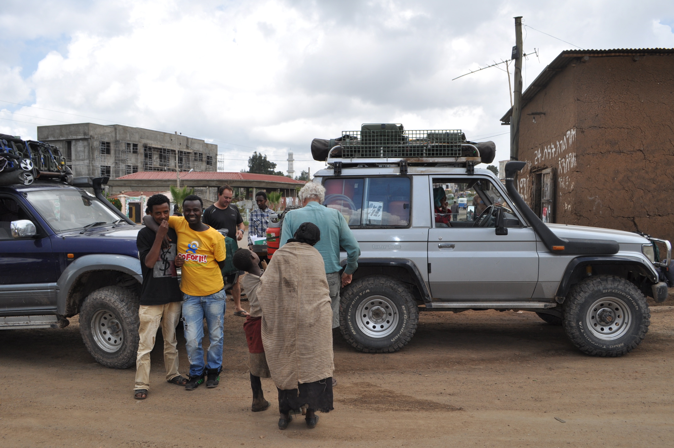
Filling up with air on route Hussein

Hi Nicky, Nic and Lily,
have just been catching up with your travels again, sounds rather different to our two day break at Bosworth Hall Hotel, where we have been for my birthday (I share a birthday with Robin) Need to visit Google Earth again to see exactly where you are (or rather have been) Take care and Love to you all. Oh yes, pleased you have found Sib and Pris xxxxx Happy travelling xxxxx
Thanks Veronica
Hope you had a good birthday celebration, we in Malawi and heading for Zambia in the next few days,
We’ll keep you informed,
Bye
Nic, Nicky, Lily
Hey! Did you have your own 4×4 to cross borders or you hired one in Ethiopia? please answer to filipacarvalho.lima@gmail.com
Thank you so much!
We had our own 4×4 and made our own preparations to cross borders. Thanks nic and nicky
will do